


geve1

maupassant38
User
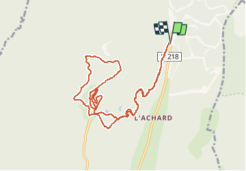

Length
11.6 km

Max alt
1351 m

Uphill gradient
256 m
Km-Effort
15 km

Min alt
1275 m

Downhill gradient
257 m
Boucle
Yes
Creation date :
2021-01-11 10:16:32.704
Updated on :
2021-01-11 12:38:33.333
1h32
Difficulty : Easy

FREE GPS app for hiking
 SityTrail
IGN / Geographical institutes
SityTrail Plus
The world is yours!
About
Trail Cross-country skiing of 11.6 km to be discovered at Auvergne-Rhône-Alpes, Isère, Autrans-Méaudre en Vercors. This trail is proposed by maupassant38.
Positioning
Country:
France
Region :
Auvergne-Rhône-Alpes
Department/Province :
Isère
Municipality :
Autrans-Méaudre en Vercors
Location:
Autrans
Start:(Dec)
Start:(UTM)
702566 ; 5011389 (31T) N.
Comments